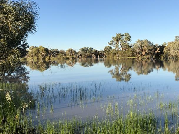
Happy World Wetlands Day!
World Wetlands Day is an annual celebration created to raise global awareness about the importance of wetlands for people and nature.
With the increasing concerns of freshwater crisis which threatens our earth and human well-being, this year’s theme, #RestoreWetlands highlights wetlands as a source of freshwater and the importance of restoring them to prevent their loss.
Wetlands are defined as “land areas that are saturated or flooded with water either permanently or seasonally. Inland wetlands include marshes, ponds, lakes, fens, rivers, floodplains, and swamps. Coastal wetlands include saltwater marshes, estuaries, mangroves, lagoons and even coral reefs.”
(The Ramsar Convention)
SEED provides access to many kinds of wetlands data, available for direct download, through web services and/or visualised on the SEED Map. These datasets support environmental decision making and management of wetlands.
Below are the top 5 most used wetlands related datasets available on SEED. More information and other wetlands datasets can be searched via our dataset catalogue.
- NSW Wetlands – This project maps wetlands across NSW and can be viewed on the SEED map.
- Ramsar Wetlands of NSW – This dataset defines boundaries of wetlands designated under the Ramsar Convention in NSW. The Ramsar Convention is an inter-governmental treaty that embodies the commitments of its member countries to maintain the ecological character of their Wetlands of International Importance.
- SEPP Coastal management – Proximity Area for Coastal Wetlands – This is a spatial dataset that identifies the proximity area for coastal wetlands of land up to 100 metres area around all mapped coastal wetlands, including all land zonings.
- Directory of Important Wetlands in Australia – This is a polygon coverage representing the wetlands cited in the "A Directory of Important Wetlands in Australia" Third Edition (EA, 2001), plus various additions for wetlands listed after 2001.
- Inundation Maps for NSW Inland Floodplain Wetlands – This dataset provides information on inland wetlands to support environmental water management.