World Oceans Day is celebrated on 8 June each year and is an opportunity to recognise the importance of protecting our oceans and conserving our marine resources.
SEED is marking the occasion by highlighting the NSW Seabed mapping dataset.
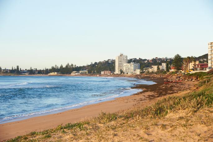
The NSW state-wide coastal bathymetry and landform data for the marine estate is accessible via SEED in unprecedented detail.
The SeaBed NSW program has created a high-resolution digital map of the seafloor, providing data on the structure and composition of the seabed adjacent to our beaches.
You can combine the data with other marine-related data, including marine protected areas and wave buoy data.
This spatial data supports councils undertake their coastal hazard studies, and enables the government, community and users to better understand marine management and make informed decisions.
Watch the video below to find out more and see how to use the data via the SEED map.