Using data on the Dataset Catalogue and Data Dashboards
Downloading and Exporting Data
Downloading and Exporting Data
Downloading data from SEED
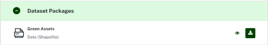
For some of the datasets in SEED the GIS data is available for download, usually in ESRI Shapefile or Geodatabase format. For these datasets there will be a ‘Download Package’ listed under Data and Resources. Please note – ESRI Shapefiles/Geodatabases can be viewed in QGIS.
For some of the SEED datasets, the data needs to be requested from the data custodian. Details, including the email address, are usually included in the dataset’s Description and /or under Data and Resources. Send an email to the address listed to request the data.
Many of the datasets have the option for viewing in Google Earth and/or using the ArcGIS Online map viewer. This functionality is available either via a KML/KMZ link under Data and Resources, or via the ESRI Web Service link. If the dataset has an ESRI / ArcGIS Web Service link, follow that link, and the options available will be displayed at the top of the page under “View In”. If Google Earth is listed, you can either open the data directly in Google Earth or download and save the kmz file. Go to the software resources section for more information.

Exporting data
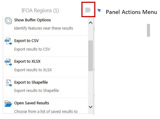
You can export part of a dataset to CSV, XLSX or Shapefile from the SEED map. To do this, display the dataset on the SEED map and then select the required features using ‘I want to’ > ‘Find data on the map’. Click the Panel Actions Menu button (depicted by four horizontal lines), and select either Export to CSV, Export to XLSX or Export to Shapefile.